
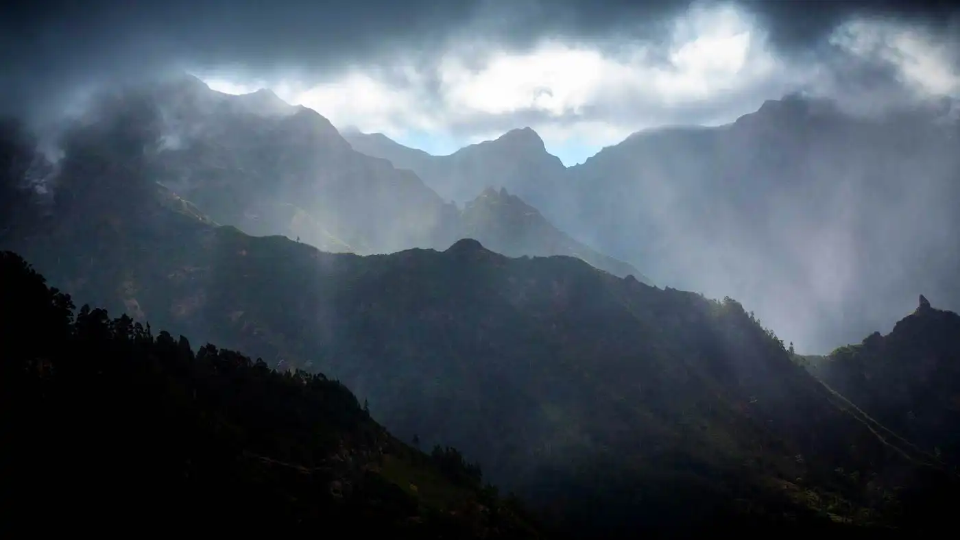
Madeira is bracing for a stormy night, but weather officials say it will not repeat the island's worst disaster. Ricardo Tavares is the regional delegate of Portugal's weather institute, IPMA. He said conditions expected Tuesday night and into Wednesday morning are not comparable to the storm of February 20, 2010.
He made the point at a press conference on Tuesday, at the headquarters of the Regional Civil Protection Service. He laid out the differences between the two events, above all in accumulated rainfall.
IPMA Forecasts 130 to 250 Millimeters of Rain
The storm now approaching is linked to depression Charles. IPMA expects accumulated rainfall of 130 to 250 millimeters, equivalent to the same range in liters per square meter. Totals will vary significantly between different parts of the island.
| Measure | Forecast |
|---|---|
| Rainfall, island-wide | 130-250 mm |
| Wind gusts, general | Up to 100 km/h |
| Wind gusts, mountains | Over 140 km/h |
| Most critical window | 21:00-06:00 |
Highlands Logged 700 Millimeters Before 2010 Tragedy
Tavares recalled that the 2010 storm followed more than a month of intense rain, with several days of very heavy accumulation. In the period before that tragedy, the island's highlands had gathered around 700 millimeters of rain, while totals in Funchal passed 300 millimeters.
It isn't exactly related to this situation.
Ricardo Tavares, regional delegate of IPMA
Winds May Top 140 Km/h in the Mountains
The most critical period runs from 21:00 to 06:00, with strong, persistent rain focused on the south coast and the highlands. Wind gusts could reach 100 km/h generally, and over 140 km/h in the mountains, where conditions peak between midnight and 06:00.
From the start of Wednesday morning, IPMA expects wind and rain to gradually ease.
Source: dnoticias.pt





Comments