
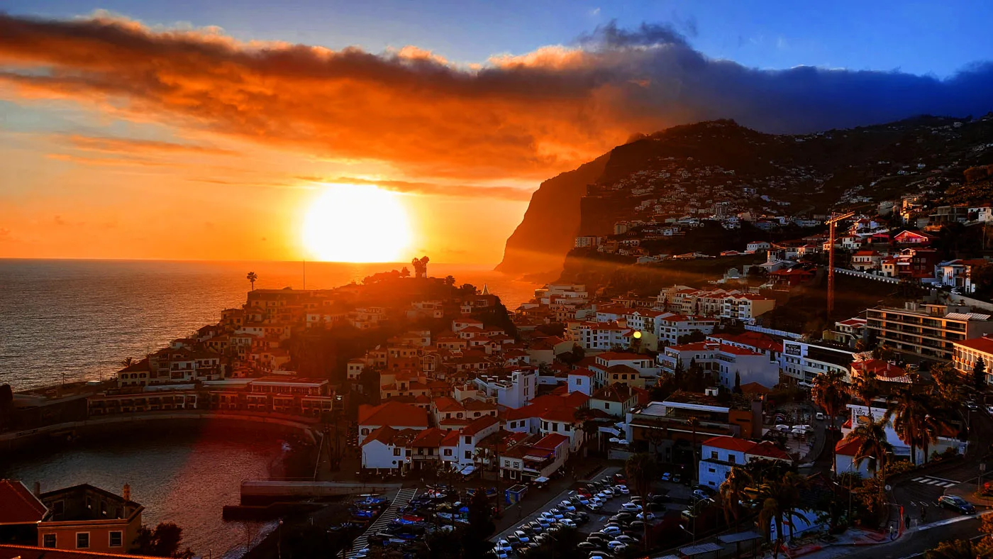
The Deadly Wave: How a Cliff Collapse at Cabo Girão Shaped Câmara de Lobos
On the morning of 4 March 1930, Câmara de Lobos was going about an ordinary Madeiran day. Fishing boats lay in the sheltered bay, traders prepared their stalls, and near the mouth of the Ribeira do Vigário stream, women washed laundry on the stones while children played close by.
Then the mountain moved.
A huge section of the cliff near Cabo Girão tore loose, crashed into the Atlantic, and sent a violent local tsunami eastward into the bay. The sea first withdrew, exposing the riverbed and seabed; moments later it surged back with devastating force. Nineteen people died in what Madeirans came to remember as A Vaga da Morte - the Deadly Wave.
A Normal Morning Becomes a Catastrophe
The disaster struck at about 9:20 a.m., when the shoreline was busy with everyday work. Witnesses described a sound like rolling thunder or a distant explosion as rock detached high on the cliff face between Fajã dos Asnos and the old quarries.
The collapse sent rock and debris from an altitude of roughly 400 metres down to the shore, across a width of about 200 metres. It buried the adjacent fajã and beach and pushed a spit of debris more than 100 metres into the sea.
Immediately, an enormous 26-foot (8-meter) wave arose from the ocean. Eyewitnesses said it looked “like a cloud” as it moved towards the village. When the wave reached the village only a few minutes later, it had fallen to about 15 feet (4 meters) in height.
The impact displaced the water with sudden, concentrated force. In Câmara de Lobos, the sea retreated first - an ominous reflux that exposed stretches of the seabed and the bed of the Ribeira do Vigário. Then the water returned as a series of towering waves, invading the stream mouth and the bay.
A massive landslide generated an enormous wave which, at a distance of about one kilometre, [killed] 19 people, injured 5, and endangered many others.
The landslide was approximately 200 metres high, with [debris] falling into the sea over a stretch of nearly 300 metres and to a depth of 100 [metres…].
The wave, as it formed, was estimated to have been 30 metres high.
Diário de Notícias da Madeira
Nineteen Lives Lost at Praia do Vigário
The worst impact fell on Praia do Vigário, the low-lying shore at the mouth of the stream. This was exactly where local women gathered to wash clothes, often with their children beside them. Their work kept them close to the water, with little time to run once the sea began to withdraw.
Historical accounts record 19 fatalities: 16 people were killed by the sea on the beach, while 3 others were swept away by the receding water and disappeared forever. Contemporary reporting from the day described people being drowned when tons of rock crashed down near Câmara de Lobos and a huge wave swept the beach.
The victims were largely among the most vulnerable people in the community: women performing essential domestic labour, accompanied by children, in precisely the place where the wave struck hardest. The tragedy left a wound in Câmara de Lobos that local memory did not easily release.
A Cliff Weakened by Nature - and by People
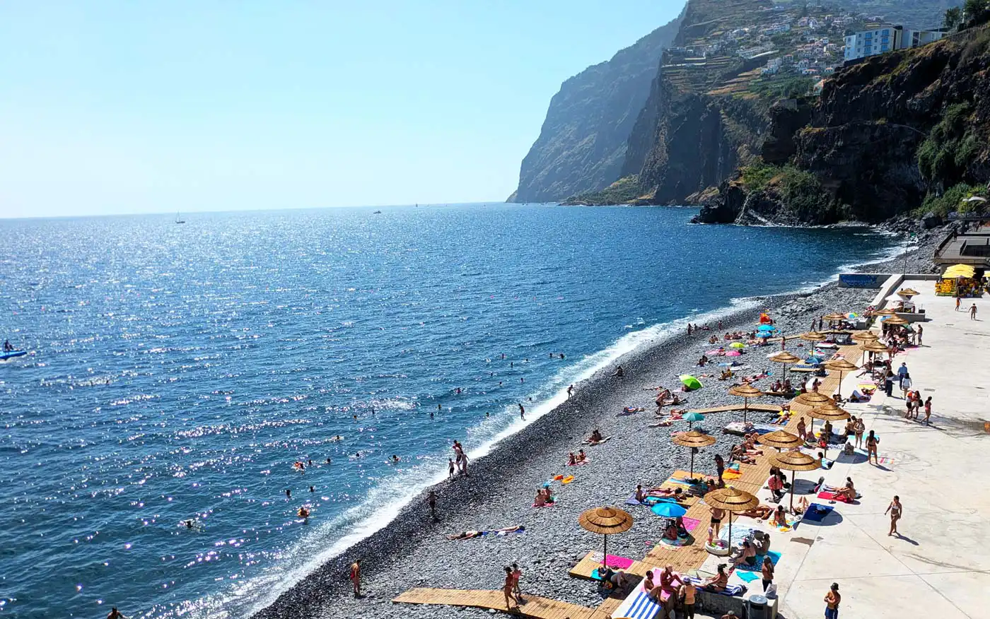
Cabo Girão is one of Madeira’s most dramatic natural landmarks, rising roughly 580 metres above the Atlantic. Its face is built from layers of volcanic lava, scoria, tuff and basaltic intrusions - materials that created natural planes of weakness within the cliff.
But the 1930 collapse was not simply an unavoidable act of nature. For centuries, quarries at the base of Cabo Girão extracted tuff and basalt for houses, furnaces, churches and other construction across the island. The protected-area history of Cabo Girão describes how intensive quarrying and galleries cut into the base of the cliff removed support from the geological formations above.
In other words, the cliff was naturally unstable, but long-term extraction at its toe likely reduced its structural support. That does not mean quarrying alone caused the disaster; rather, it likely made an already fragile slope more vulnerable when a final trigger arrived.
There are also archival accounts that around 40 quarry workers noticed warning signs - sounds and movements in the rock—and left the site days before the collapse. Whether or not every detail can now be independently confirmed, the story captures a crucial truth: those closest to the cliff recognised danger, but that knowledge did not become a public warning for the people at Praia do Vigário less than two kilometres away.
An 8-Metre Wave, Trapped by Shallow Water
Modern research has helped explain why a comparatively small landslide produced such a destructive local tsunami. Scientists estimate that the collapsed rock volume was about 0.003 cubic kilometres - large in human terms, but modest by the standards of major landslides.
Yet the resulting wave reached an estimated height of 8 metres and flooded Praia do Vigário between 200 and 300 metres inland.
The explanation lies in the shallow seabed near the coast. Rather than allowing the wave’s energy to disperse into the open Atlantic, the shallow water helped trap and concentrate it close to shore. This made the tsunami especially destructive near its source, while limiting its ability to travel far across deep ocean.
That is why landslide tsunamis can be so dangerous: they may give little or no distant warning. The danger is not a wave approaching from thousands of kilometres away, but the sea itself turning violently against the people standing beside it.
The Landscape Bore the Evidence
The 1930 event did more than take lives. It permanently altered the coastline below Cabo Girão.
The fallen material formed a new shelf or spit extending more than 100 metres into the sea, while the cliff scar remained visible as evidence of the failure. The tsunami also carried debris inland and along the coast; researchers later identified a coarse sediment fan near the Ribeira do Curral reaching approximately 20 metres in thickness at its confluence with the stream.
Today, the event remains an important case study for geoscientists. The recorded wave height, inundation distance and landslide characteristics help calibrate models of landslide-generated tsunamis—models used to understand how similar events could affect steep volcanic coastlines.
Memory, Risk and Resilience
Nearly a century later, visitors stand on the Cabo Girão skywalk and look down at the Atlantic, the fajãs below and the rooftops of Câmara de Lobos. The view is spectacular—but it is also a view of a landscape shaped by collapse, erosion and human activity.
Modern Madeira approaches such hazards with far greater awareness: geological monitoring, civil-protection planning, slope stabilisation and restrictions on construction in vulnerable zones all reflect lessons learned from past disasters. The 1930 Deadly Wave remains a reminder that Madeira’s beauty and its danger are inseparable.
For Câmara de Lobos, however, the story is not only one of geological force. It is also a story of ordinary people—an ordinary morning of washing clothes by a stream—caught in a catastrophe they could not have foreseen. Their memory is why A Vaga da Morte still matters.
Sources
Cabo Girão Protected Area — “Cabo Girão no Tempo e no Espaço”
Historical account of quarrying, cliff instability and the 1930 disaster.
Related documents: geological overview and protected-area programme report (PDF).
EGU — “Sector-Collapses inducing Tsunami Hazard in Madeira…” (PDF)
A 2018 conference abstract discussing the 1930 collapse and an 8-metre tsunami wave height. This is a conference abstract, not a full research paper. meetingorganizer.copernicus
“Revision of the Portuguese catalog of tsunamis” (PDF)
The scientific catalogue records the 4 March 1930 rockfall and reports inundation extending 200–300 metres inland at Vigário Beach. nhess.copernicus
Temblor — “Shallow waters trap ‘silent’ tsunamis from volcanic landslides”
An accessible explanation of the research into the Cabo Girão tsunami and how shallow coastal water can concentrate its effects near the source. temblor
The New York Times — “Madeira Landslide Kills 16 in Carnival”
Correction to my earlier description: it was published on 5 March 1930, with a dispatch dated 4 March. The initial report gives 16 deaths and five injuries, rather than the later total of 19. Access may require a subscription.nytimes
Funchal Notícias — “Freguesias da Madeira: Câmara de Lobos”
Written by Nelson Veríssimo and published on 28 September 2025. It describes a collapse at Rancho, waves entering the mouth of Ribeira do Vigário, women washing clothes with children nearby, and 19 deaths.funchalnoticias


Comments